


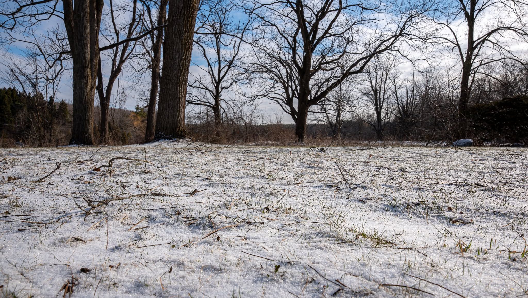
The region is getting set to push into its first real cold stretch of the season, with possible flurries and single-digit temperatures expected over the next week.
Environment Canada detailing the upcoming forecast for Waterloo Region, and while residents may see some sunny patches here and there, the real eye-catcher will be the chance of flurries entering into the weekend.
Meteorologists are showing a chance of flurries Thursday night and throughout the day on both Friday and Saturday.
RELATED: Clear skies led to warmer, drier October than usual: expert
The peak chance of snow will be from Thursday night into Friday, where there is a 60 per cent chance of flurries after midnight and throughout the course of the following day.
Those possible flurries will go hand-in-hand with some lower temperatures, with daytime temperatures expected to be fairly brisk and overnight lows becoming even chillier.
According to Environment Canada, those daytime highs will hit only 3°C Friday and 5°C Saturday, alongside a low dipping as far down as -6°C overnight Thursday heading into Friday.

Looking at the extended forecast, there is some good news for residents, as the sun is expected to make a longer return and temperatures will climb back up to double digits by the middle of the work week.
It’s all part of a back-and-forth trend that’s expected to be seen throughout the end of autumn and the kick-off to winter, thanks to the Super El Niño system.
That system is continuing to warm ocean surface temperatures, creating warmer-than-usual jet streams pushing from the Pacific Ocean, which then carry into the country and contribute to those warmer conditions.
All in all, it’s recommended that residents dress warmly over the coming days, and keep that shovel handy, as the region continues inching closer and closer to winter as autumn continues across Waterloo Region.
You can always stay up-to-date on Waterloo Region’s weather and upcoming forecast through the FM 985 Weather Page.





Comments